The park is named after the nearby Mouling peak. Mouling is an Adi word which means red poison or red blood, which is believed to be red latex from a tree species found locally. The area is thought to have a large number of poisonous snakes, but this cannot be verified as the ecology of the area has been sparsely explored.
The national park covers an area of about 483 km² forming the western part of the Dihang-Dibang Biosphere Reserve. The terrain is rugged with an altitudinal range of 750 to 3064 m at the highest point, the Mouling Peak. The Siyom river flows along the Western fringes of the park and several small rivers such as the Siring, Krobong, Semong and Subong drain into the Siang river near the eastern boundary of the park.
The park is under the administrative control of the Divisional Forest Office located in Jengging and the nearest major towns are Along and Pasighat, 130 km and 185 km from the park. Approach to the park is not possible via roads, due to the remoteness of the area and communication facilities in the area are poor. The nearest airfield is located in Along. The Forest Department’s managerial control is limited by the lack of road communication and all the divisional/range/beat offices are located well outside the park. The park boundaries have been drawn through an aerial survey based on artificial and natural boundaries such as the Siyom River in the west, and on-ground demarcation of sections of the boundary is still not complete. The park has two ranges; the Ramsing range accessible from the Bomdo village and the Jengging range accessible from the Lissing village.
The area is extremely humid, with heavy rainfall (2343 mm annually)and no well-defined dry season. In low altitude temperature ranges between 15oC to 38oC, Winter snowfall is experienced in higher altitudes. Temperature varies from 4.2oC to 17.7oC at altitudes ranging from 2200 mtr onwards.
User reviewed online profile of Mouling National Park, Arunachal Pradesh, India. Plan your adventure holiday to Mouling National Park armed with information and reviews provided by experts and by users. Find out about when to go, how to get there, what to do, best season to visit, its wildlife, habitat and much more…
What to do in Mouling National Park:
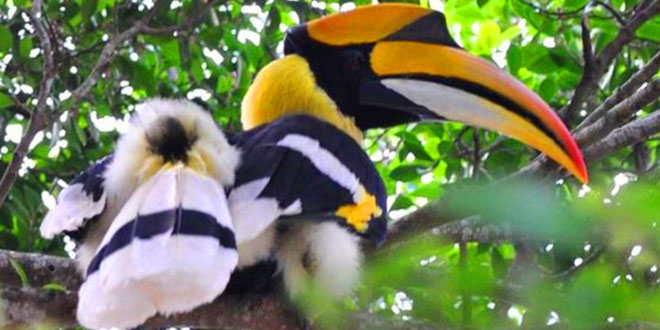
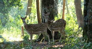
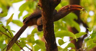
Wild Life: Takin, Coral, Serow, Wild buffalo, Tiger, Panther, Red panda, Elephant, Hog dear, Barking deer, Sambar, Python
Adventure: Trekking, Hiking, Angling at river Siyom
Where is Mouling National Park:
Region: Located in West Siang District of Arunachal Pradesh.
Location: Upper Siang District, Arunachal Pradesh, India
When & how to get to Mouling National Park:
Best Time to Visit: 01-Nov to 30-Apr
Getting There: Bus/Taxi are available from North Lakhimpur or Itanagar and from Likabali and Pasighat to Along.
Nearest Town: Along
Nearest Airport: Lilabari
Nearest Railway Station: Murkeongselek
Where to stay (Lodges / Guest Houses / Camps / Resorts / Hotels):
Accommodation: Circuit Houses, Inspection Bungalow and well furnished hotels are available in Along, headquarters of the West Siam district, 20 km from the park.
In our Database: If you know of a hotel, resort, guest house or camp please add it here. If you own or manage a hotel or resort you can add it to the database for ‘Free’.
Climate & Weather conditions in Mouling National Park:
Temp: 0 c to 31 c
Rainfall: 4,500.00 cm
Altitude: 460 to 1,620 m
Other details about Mouling National Park:
Established: 1986
Area: 483 sq km
Language: Tribal, Hindi and English
 ITP Indian Travel Places: Food, Travel, Tourism Business Events and Trade Shows
